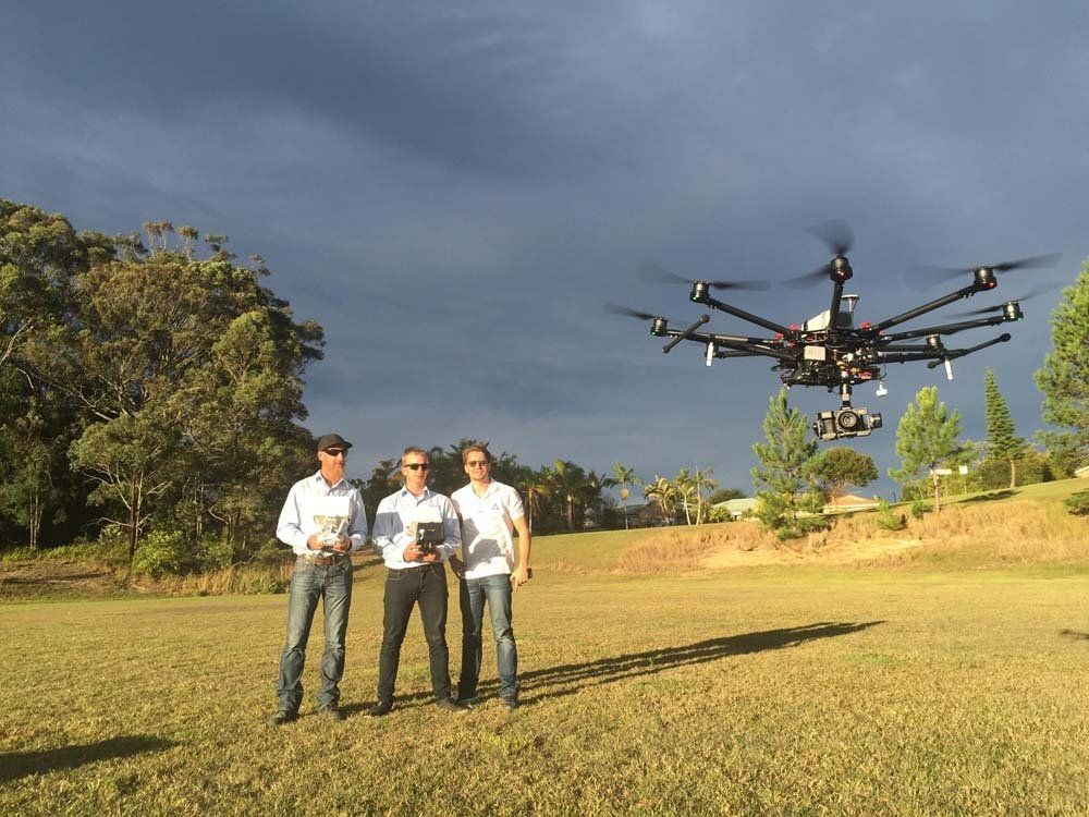
Drones
Aerial Mapping, LiDAR and Remote Asset Inspection Services
We use our years of experience to provide high-quality drone imagery and take the necessary steps to achieve the high levels of mapping accuracy required by our clients. Our team consists of industry specialists who are dedicated to fulfilling all your survey needs.
Free Quotes
Highly Efficient Drone Survey
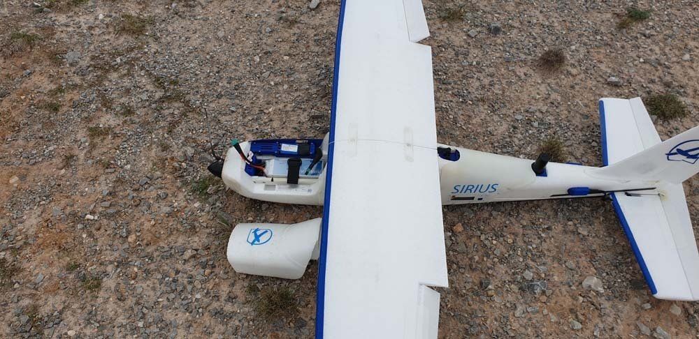
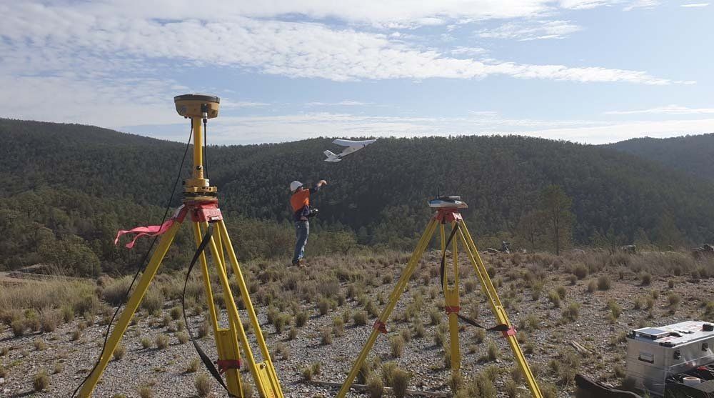
MACRO Consulting Surveyors provides professional aerial LiDAR drone surveying, mapping, video and remote inspection capabilities. Our aerial mapping services offer flexibility in working on many applications by using our fixed-wing and/or multi-rotor RPAS (Remotely Piloted Aircraft System) and the latest capability software.
Our Remotely Piloted Aircraft Operator's Certificate (CASA ReOC.1121) allows us to fly at night.

For high-quality aerial imagery and surveys, call 02 6686 8939 and we can help you.
Affiliations