Rous County Council | Dungarubba Canal
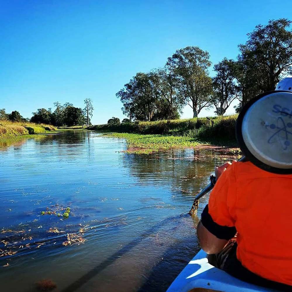
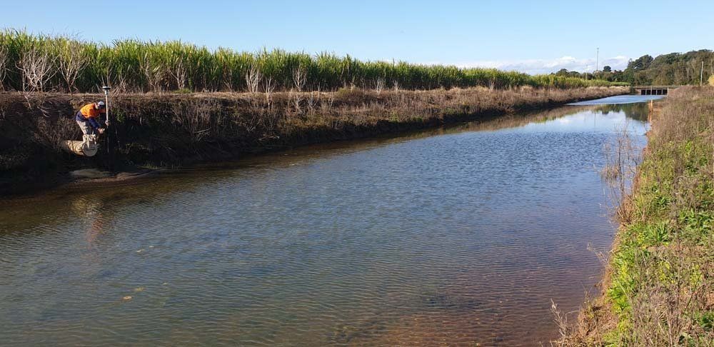
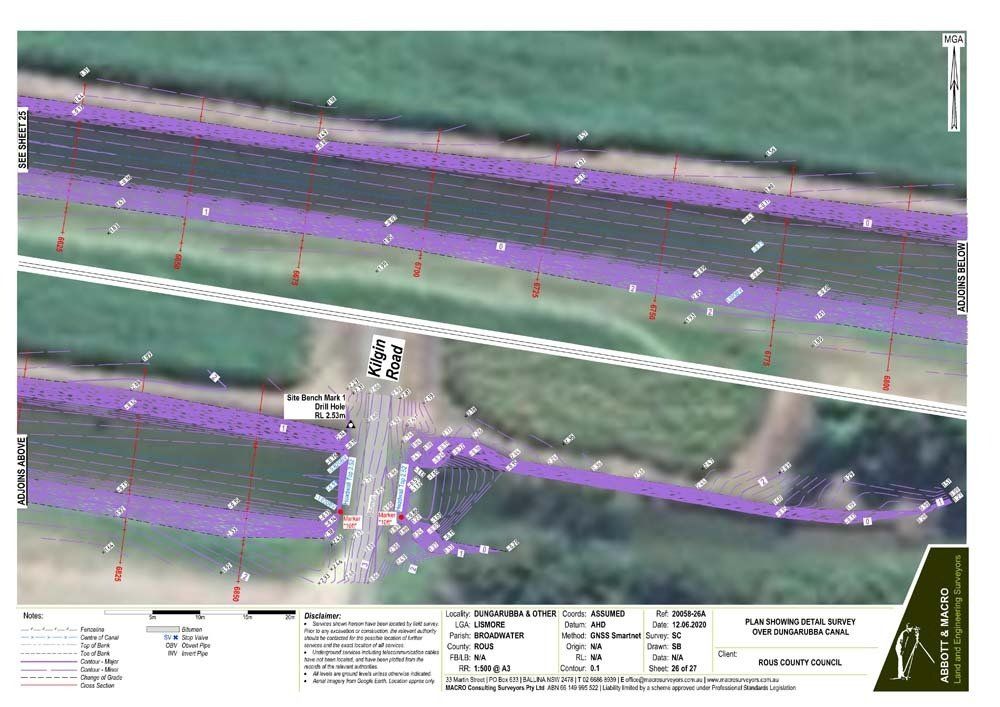
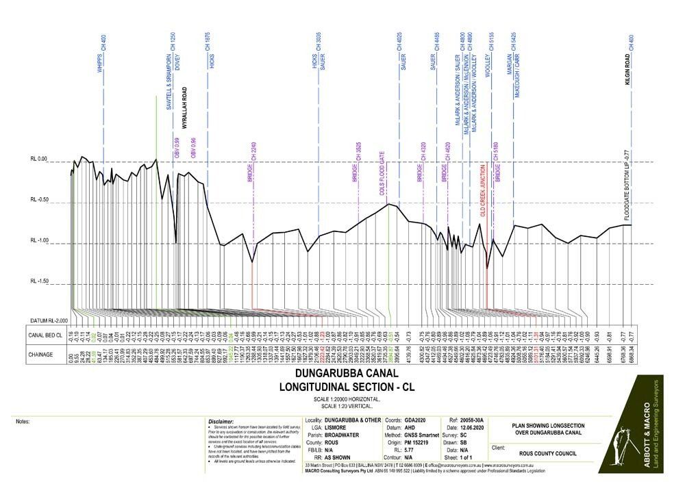
Dungarubba Drain Invert Survey
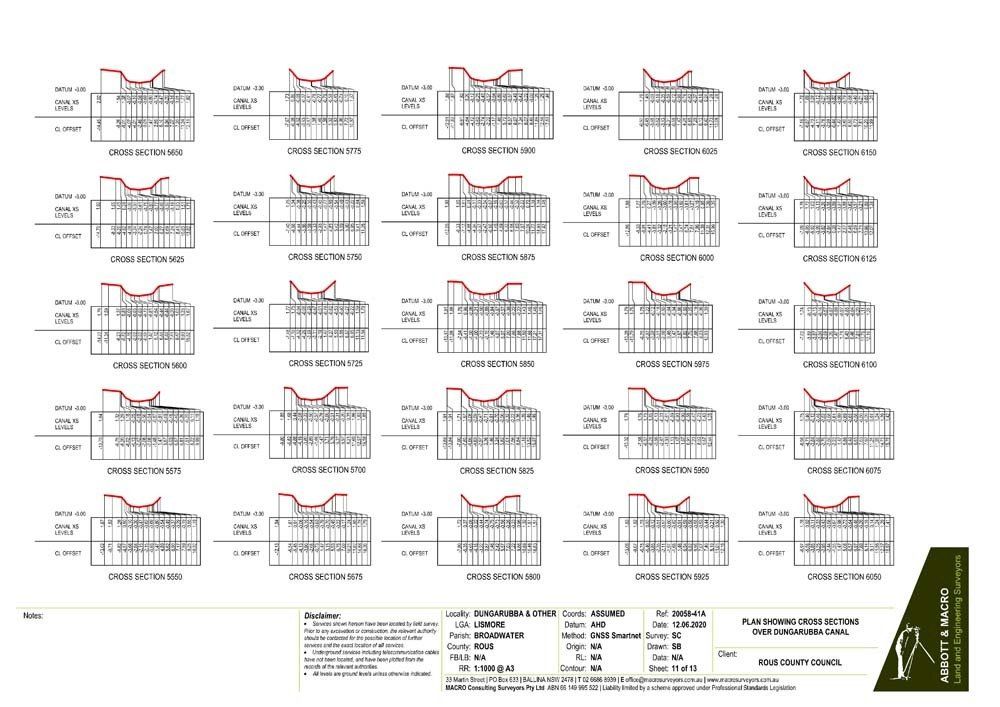
Dungarubba Canal is a very large drainage system, one of the largest on the Richmond Floodplain. The main channel, which is managed by Rous, is approximately 7.5km long and runs from west of Wyrallah Road to discharge into the Richmond River along Kilgin Road in the Lismore local government area.
One of the floodgates on the Dungarubba Canal was fitted with a sluice window in 2010 to allow river water to tidally flush the drain in a controlled manner to improve water quality. However, landowners have remained concerned about elevated water and salinity levels in the drain and inundation of land. Without any quantitative information on the system or the issues, it means that tidal exchange has not occurred as frequently as planned.
As part of Council’s implementation of Action 4b of the Coastal Zone Management Plan (Review floodgate management protocols) in the reporting period, drain invert survey of the Dungarubba Canal was completed by MACRO Consulting Surveyors with the objective of providing critical data on the current levels and heights of the drain and its flow and function.
Results of the survey will inform the review and update of the Active Floodgate Management Plan for Dungarubba Canal. This is the second drain invert survey Rous has undertaken and they are proving to be essential in developing a scientifically accurate understanding of how these drainage systems function.