Rarotonga Cook Islands- Airport Topographic Survey
Scott Crommentuyn • 1 August 2022
Rarotonga Cook Islands - Airport Topographic Survey
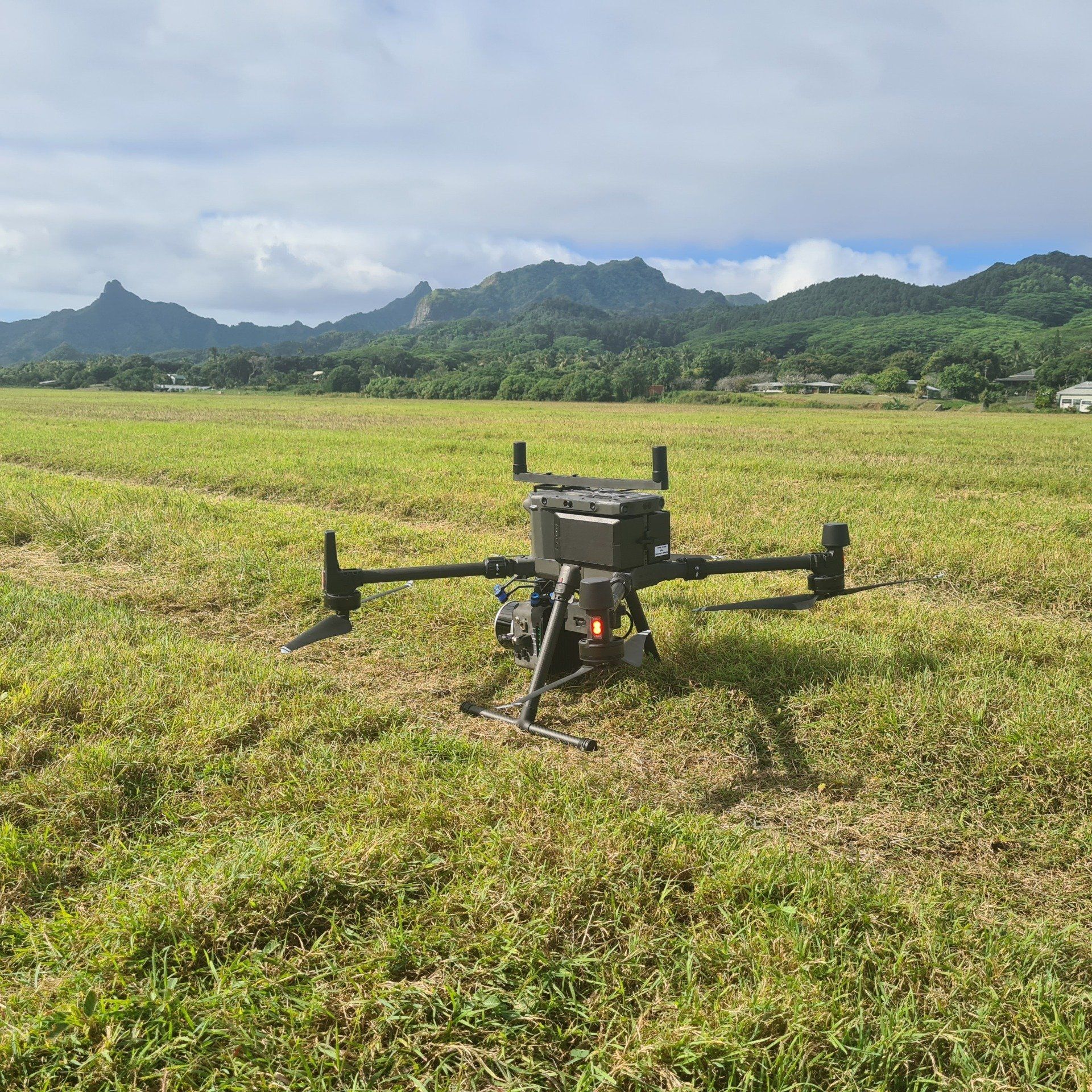
MACRO Consulting Surveyors recently undertook a large topographic survey of the Rarotonga Airport, Cook Islands. Utilising Total Stations, GNSS Base / Rover, mobile LiDAR and DJI M300 RTK drone LiDAR / Orthomosaic. Big thankyou to Cook Island Chief Surveyor Pureau Manuela at the Ministry of Justice, all the Raro Airport crew, our Chief Toto!, the team at Nextcore lidar, Surveyor Rick McElligott, the night Roosters and all MACRO Staff back home for making this job come together between unseasonal rain scuds and a hectic 24hr airport schedule.
https://www.northernstar.com.au/news/mentor-work-awarded/2036902/
https://www.alifewithoutlimits.com.au/blog/putting-theory-test-university-newcastle/
https://www.calameo.com/read/0003734954410982bc875